Navionics – Navigation – Pool 2

  • Cody Meyers
    Posts: 388
    #1938682

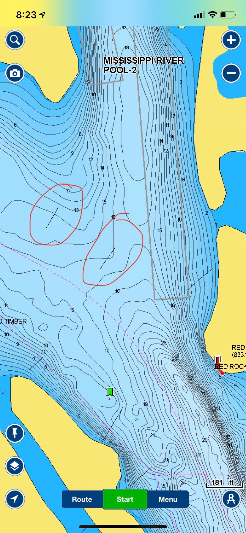
    Has anybody found some frustration with the Navionics map on their Lowrance units? I have the platinum maps, and I have several wing dams shown on my map that don’t actually exist.

    Also, they are just thin black lines which can be difficult to see when zoomed out or on a busy part of the map. According to Navionics, there is not a way to alter the view for these.

    Every time I turn around I’m ticked off with the mapping options available for Lowrance. Anybody found a work around, or is there maybe an update that I’m missing? I downloaded and updated my map in February.

    Thanks,

    Cody Meyers
    Posts: 388
    #1938683

    For example…this is the entrance to the shipping channel at Pigs Eye. I have never seen anything that indicates those dams are there.

    Am I the only one who feels like the map isn’t quite right?

    Attachments:
    1. 354811D8-1FA7-493C-A51B-11C8BEA2EFE3.jpeg

    Jon Jordan
    Keymaster
    St. Paul, Mn
    Posts: 5605
    #1938688

    The Hotmap chip is not the greatest one out there. Have you try using the pre-loaded global map? Pretty decent map on the new unit I have. (Lowrance Elite TI9)

    Also, on the old Hotmaps, those wing dams and closing dams were probably there at some point. They are either old silted in or dredged out. They built the hotmaps off old paper charts and then layered in new info as new updates were compiled.

    -J.

    luckydave
    Cottage Grove, MN
    Posts: 209
    #1938696

    The other thing to consider is that rivers are constantly changing and the river maps cannot be relied on as much as lake maps where things don’t change much from year to year. This is very apparent as you get into the narrower stretches of river where the channels can move with high water / flooding influences. I would agree with Jon that those wing dams were probably there in the past. The river maps would have to be updated annually to account for all the changes that can occur from one year to the next.

    Cody Meyers
    Posts: 388
    #1938725

    The pdf charts from the army corps don’t show dams there. The lakemaster chip from a humminbird is accurate too, or at least consistent with the ACOE maps. I wish I could at least change the view.

    I got these graphs as part of the package when I bought my boat. I don’t know if I’ll go with Lowrance again.

Viewing 6 posts - 1 through 6 (of 6 total)

You must be logged in to reply to this topic.