Lake maps/depths on cell phone

  • Coletrain27
    Posts: 4789
    #2088896

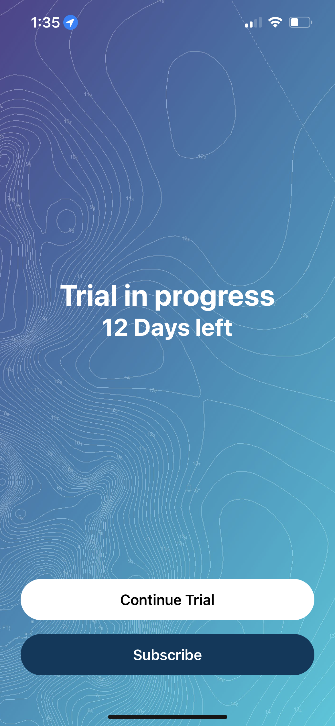
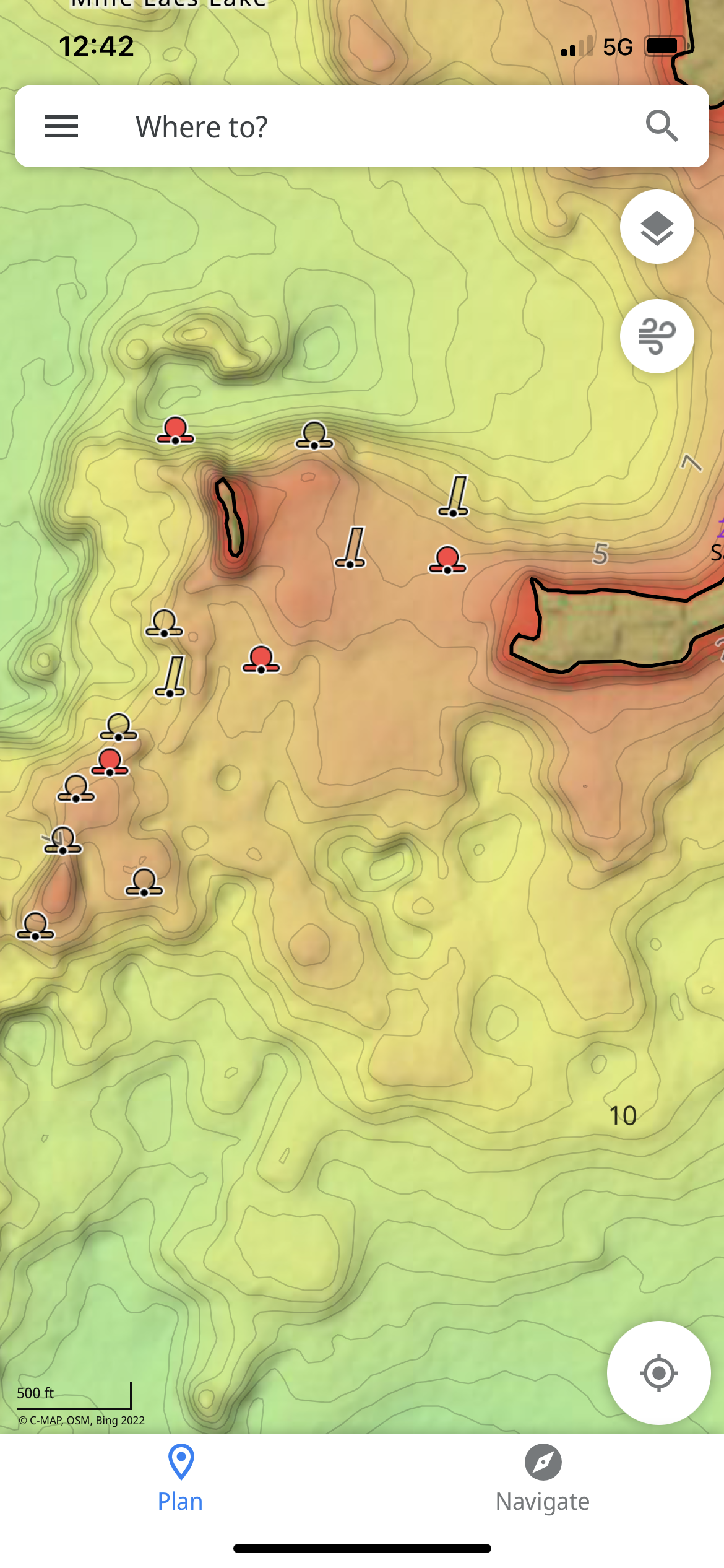
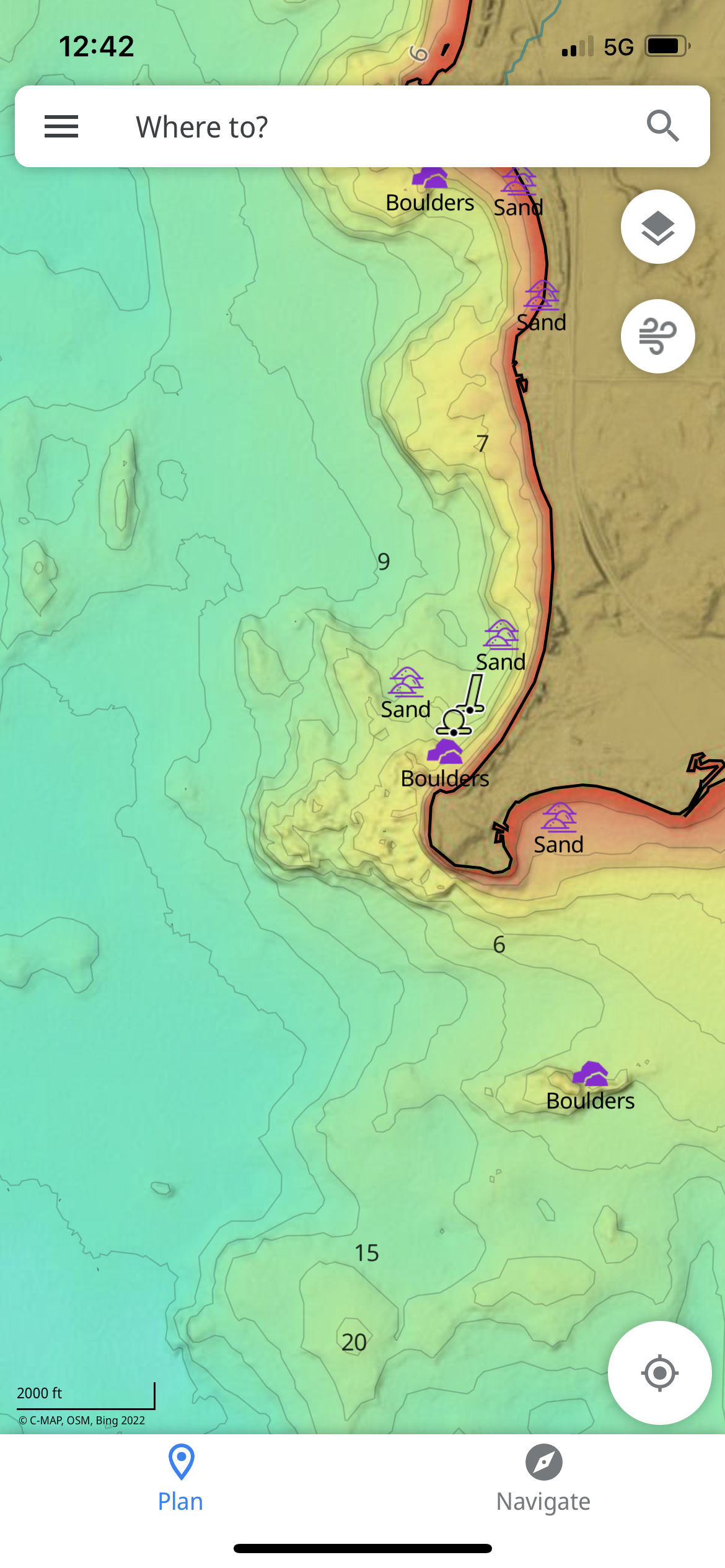
    I use to use navionics app on my phone for finding out the lake depths on my phone while ice fishing. The other day I went to use it again and it now has changed a lot and they want me to subscribe and pay now. Are there any other apps people use for this or should I pay for the navionics now? Any other suggestions? Thanks

    Deuces
    Posts: 4907
    #2088898

    Did I miss the boat on the free navionics app? I always had to pay for it.

    Coletrain27
    Posts: 4789
    #2088899

    Did I miss the boat on the free navionics app? I always had to pay for it.

    When I downloaded it a couple years ago it was always free for me I guess? Last weekend I tried to use it again and now it’s not ???

    CaptainMusky
    Posts: 19349
    #2088900

    Did I miss the boat on the free navionics app? I always had to pay for it.

    The paid for app has much more detail, but I think what hes getting at is the app was actually updated and now its an annual subscription. You dont have to pay to continue to use the app as you have it, but if you want updated features you do. I havent updated mine in years.

    Rodwork
    Farmington, MN
    Posts: 3787
    #2088903

    It was free, then a 1-time fee, and now is a yearly fee. You can still use their web site for free without the GPS. So you can see the contours but not where you are on them. I will review lake contours on it. As soon as I am on the lake I use the map on my bird.

    Coletrain27
    Posts: 4789
    #2088904

    <div class=”d4p-bbt-quote-title”>Mr.Beads wrote:</div>
    Did I miss the boat on the free navionics app? I always had to pay for it.

    The paid for app has much more detail, but I think what hes getting at is the app was actually updated and now its an annual subscription. You dont have to pay to continue to use the app as you have it, but if you want updated features you do. I havent updated mine in years.

    That’s what comes up now. I did the 15 day free trial. there is no free option anymore

    Attachments:
    1. 6EE61285-F12E-46A2-9839-69C3DA6BC067.png

    KP
    Hudson, WI
    Posts: 1193
    #2088909

    I noticed this year the Navionics App is way off. I was fishing with a buddy this past weekend and we both have the paid app. We were about 20 yards off shore but the app showed that we were still on the shore. The accuracy has gone way done this year it seems.

    gimruis
    Plymouth, MN
    Posts: 14869
    #2088910

    The GPS on your cell phone could also be the issue. Its not a real GPS. It relies on the signal from a cellular tower just like the other features on your phone.

    If you want accuracy, use a real GPS like Rodwork stated like on your bird. One that uses a satellite.

    Why does that not surprise me that they would charge for something now that used to be free.

    CaptainMusky
    Posts: 19349
    #2088911

    That’s what comes up now. I did the 15 day free trial. there is no free option anymore

    The free option has been gone for several years, but I have been using the same app without any issues. I just dont upgrade. I use it all the time. By using the free trial when that is up you are going to lose everything I think. I had to pay for it once and that was it. Like $10 I think.

    Coletrain27
    Posts: 4789
    #2088914

    The GPS on your cell phone could also be the issue. Its not a real GPS. It relies on the signal from a cellular tower just like the other features do you your phone.

    If you want accuracy, use a real GPS like Rodwork stated like on your bird. One that uses a satellite.

    Why does that not surprise me that they would charge for something now that used to be free.

    I don’t have a helix anymore with the map chips that’s why I’m looking for a decent alternative. Anyone use a handheld unit with a map chip in it?

    Ralph Wiggum
    Maple Grove, MN
    Posts: 11702
    #2088916

    Its not a real GPS. It relies on the signal from a cellular tower just like the other features on your phone.

    I’m pretty sure the majority of phones have “real GPS”.

    gimruis
    Plymouth, MN
    Posts: 14869
    #2088923

    I’m pretty sure the majority of phones have “real GPS”.

    Meaning that they get a signal from a satellite? Mine goes to a cellular tower, not a satellite.

    Anyone use a handheld unit with a map chip in it?

    I still have and use a Lowrance H20c hand held.

    Bearcat89
    North branch, mn
    Posts: 17853
    #2088925

    I used to use my garmin side x side with navionics on my phone. The phone was never even close.

    Matthew Sandys
    Posts: 343
    #2088928

    If you fish in the same lake a lot get FishSmart by Humminbird. Pay and have a good map for life. Well worth it. Can transfer to Humminbird units also so you don’t have to buy a chip.

    CaptainMusky
    Posts: 19349
    #2088929

    Meaning that they get a signal from a satellite? Mine goes to a cellular tower, not a satellite.

    Cell phones use both. If they relied solely on cell towers you wouldnt be able to use them at all in remote areas to navigate.
    They are more accurate where you have good satellites AND lots of cell towers.

    gimruis
    Plymouth, MN
    Posts: 14869
    #2088932

    If they relied solely on cell towers you wouldnt be able to use them at all in remote areas to navigate.

    Mine doesn’t work when I don’t have a tower signal lol. The google maps app is completely blank.

    Ralph Wiggum
    Maple Grove, MN
    Posts: 11702
    #2088934

    Cell phones use both. If they relied solely on cell towers you wouldnt be able to use them at all in remote areas to navigate.
    They are more accurate where you have good satellites AND lots of cell towers.

    Bingo.

    There are plenty of GPS satellite tracker apps.

    Ralph Wiggum
    Maple Grove, MN
    Posts: 11702
    #2088935

    Mine doesn’t work when I don’t have a tower signal lol. The google maps app is completely blank.

    What, do you have a Nokia flip phone?

    tswoboda
    Posts: 7759
    #2088937

    Mine doesn’t work when I don’t have a tower signal lol. The google maps app is completely blank.

    Your phone has a GPS receiver. It needs mobile data to load google map data, but you still have GPS location. Download the google map area for offline use and it will work just fine without cell signal.

    gimruis
    Plymouth, MN
    Posts: 14869
    #2088938

    What, do you have a Nokia flip phone?

    Lol its possible that my phone just sucks too. I’ve considered that.

    Download the google map area for offline use and it will work just fine without cell signal.

    Well alright will do. Thanks

    tswoboda
    Posts: 7759
    #2088940

    Phone GPS accuracy is just fine as long as you’re in the open outside. The issue with the Navionics app is most of the maps are absolute trash. The maps are only as good as the data used to create them. For smaller Minnesota lakes Navionics took the DNR maps from the 1950s and interpolated the contours from 10′ intervals down to 1′ intervals.

    CaptainMusky
    Posts: 19349
    #2088943

    Your phone has a GPS receiver. It needs mobile data to load google map data, but you still have GPS location. Download the google map area for offline use and it will work just fine without cell signal.

    100%. Ive downloaded large areas of the state. Takes up a ton of room, but that has saved me a lot. I was in the Mississippi Headwaters forest with zero cell reception, but I could see all the maps. I absolutely crapped my pants when the tree coverage became so dense that it couldnt find me anymore so just retraced my steps to get the eff out of there LOL

    Deuces
    Posts: 4907
    #2088944

    I can think of alot of stupid $hit I buy every year alot more expensive and way less useful.

    Reef W
    Posts: 2168
    #2088961

    If you have Garmin in your boat you can download ActiveCaptain app for whatever maps you are entitled to on your phone.

    Reef W
    Posts: 2168
    #2088968

    <div class=”d4p-bbt-quote-title”>gimruis wrote:</div>
    Mine doesn’t work when I don’t have a tower signal lol. The google maps app is completely blank.

    Your phone has a GPS receiver. It needs mobile data to load google map data, but you still have GPS location. Download the google map area for offline use and it will work just fine without cell signal.

    I use Google maps for regular stuff but also have “HERE WeGo” on phone for offline backup. I think I started that because Google maps at the time had a really goofy system for downloading offline areas and, with this, you can just download a whole state and trust it will be there. Google probably doesn’t have that problem anymore, and I don’t lose reception much anymore, but that’s another option for offline use.

    Dan Baker
    Posts: 891
    #2088978

    I like the fishsmart app for the lakes I fish the most. The problem is you have to buy the map for each lake. But these are the actual lakemaster contour lines, so they’re very accurate. The maps range from $10 to $30. I use navionics for less frequent lake use.

    Hookset
    Southern MN
    Posts: 202
    #2089070

    Love my Lowrance H20c, just keep feeding it a couple batteries every now and then…everyone thought I was crazy spending $200+ on a handheld gps(16+ years ago) till they realized it snowed 10” and the holes they drilled weren’t visible without shoveling LOTS of snow!lol.

    dexknows
    Blackduck, MN / Minneapolis, MN
    Posts: 76
    #2089110

    Lowrance has an app called CMAPS that is actually pretty good for contours. It’s a paid subscription, but the contours are FAR better than navionics or other apps I’ve tried. Has some cool custom shading features, waypoint folders, etc. Worth a look, I’ve been happy with it.

    LabDaddy1
    Posts: 1726
    #2089111

    I recently discovered an app called “c-map.” It is owned by lowrance I guess. You can get the settings dialed in and make it look really cool with depth shading. It also costs about the same as navionics. I’m on iPhone, by the way. Here’s a couple screenshots from the east side of Mille lacs. I’ve found it to be at least if not more so accurate than navionics app. Navionics really urine*s me off sometimes.

    Attachments:
    1. 71CEBECB-B0E8-4751-8E47-94B763185E71.png

    2. D0761CA1-11E9-469D-93CF-80CB2BFCCF47.png

Viewing 29 posts - 1 through 29 (of 29 total)

You must be logged in to reply to this topic.