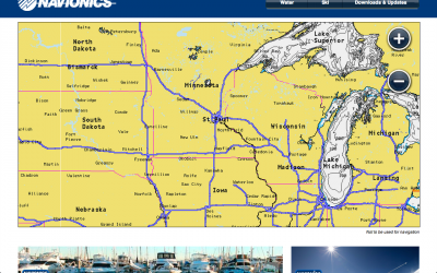
FYI on the Navionics website (www.Navionics.com) is a brand new viewer. This allows people to look at actual charts for any where in the world both fresh and saltwater.
All detail is added in as far as contours, underwater structure, shoreline corrections, fishing spots, etc…
If curious about Navionics charting or just want to check out your local area or places to visit, take a look.
Only thing missing that would show up on a chip are the shaded details like creek beds and trees, the community layer, saltwater fish n chip data, and the brand new SonarCharts. These are reserved for chip features only but still get a really good idea of what a lake looks like under the water.