Lake Superior chart chip?

  • AllenW
    Mpls, MN
    Posts: 2895
    #1292621

    Anybody compared the Navionic and lakemaster chips of Superior and have a favorite?
    This is for a Lowrance LCX27C unit and the platinum chips evidently don’t work in it.

    Or did you find they didn’t help much?
    Just trying to decide on if and what one to get.

    Al

    jim_hudson
    Bayfield, WI
    Posts: 113
    #1012831

    Both work good.. But, the 2011 Navionics is what I run. It has great detail and covers all of the lake.

    LakeMaster has a bit more detail, but not enough to overcome the cluttered look it gives, due to the amount of depth increments.

    poppy402
    Eagle Point Wisconsin
    Posts: 948
    #1012834

    I prefer lakemaster hands down. I can’t stand navionics where there is a “depth number” every 1/10th of a mile or so. The one and two foot countours of lakemaster are awesome for lake superior.

    stuwest
    Elmwood, WI
    Posts: 2254
    #1012839

    i’ve tried both on michigan and prefered the LM. I LIKE the extra lines.

    On Superior, where structure is less available, i suspect that a 1-2′ change could hold fish. Nice to be able to see it.

    mark-bruzek
    Two Harbors, MN
    Posts: 3837
    #1012854

    I first startes with the Navionics gold Maritimes chip from 07′. Hands down the worst $250 I had ever spent. Words can not describe my feelings… There were random (at best) depth markings with no contour lines.

    In 09′ LM started including Superior in 3′ contour lines on their MN chip. I would say LM is your best bet.

    I would look to buy soon as Im kinda thinking they are no longer made for Lowrnce

    mark-bruzek
    Two Harbors, MN
    Posts: 3837
    #1012855

    Quote:


    On Superior, where structure is less available, i suspect that a 1-2′ change could hold fish. Nice to be able to see it.


    Stu, Check out the MN side for structure past McQuade harbor.

    jmarksman
    Chequamegon Bay Apostle Islands, WI
    Posts: 222
    #1012858

    Quote:


    I prefer lakemaster hands down. I can’t stand navionics where there is a “depth number” every 1/10th of a mile or so. The one and two foot countours of lakemaster are awesome for lake superior.


    .

    I like lakemaster & navionics and use both, I agree with Grant and the depth #’s on the navionics drive me nuts where the lakemaster shows nice countours. As for clutter as said above, I just zoom out and go with no problems.

    AllenW
    Mpls, MN
    Posts: 2895
    #1012891

    Thanks guys, I have a couple of Lakemaster chips for Minn and like them, wasn’t sure how good the Superior one was, seems like the most popular choice.

    I’ll see if I can still find one..:)

    Al

    Edit…Appears Thorne Bros has both the MN and Wisc chip that has the parts of Superior I’ll be fishing, in fact the Wisc one looks to be the better choice…off to Thorne Bros tonight..:)

    jim_hudson
    Bayfield, WI
    Posts: 113
    #1013199

    Grant,

    What LakeMaster chip are you running? I have the 2010 WI model, and it only covers half of the lake.. At Outer Island to all the way east, the screen is blank – in WI waters.

    For the Navionics, it covers the whole lake in one chip.. So a little bit more bang for the buck. Also, the 2011 model has more accuracy, especially in shallower water. Under 10 FOW.

    Get me to the St. Louis River – and its LakeMaster hands down..

    Too each their own, though..

    Josh1
    Posts: 2
    #1452573

    Sorry to refresh an old forum, but I haven’t found to much for new info… What do you all recommend for a superior chip for an HDS gen2, right now I have a navionics hot maps platinum but it doesn’t show much for contours and only close to shore. I’d like to find something that will show isle royal also. The navionics apple app shows this area but I’m not sure if the reception will be goose bought up that way or if it will be very accurate. Any help would be great thanks!

    M. Leslie
    Twin Cities
    Posts: 37
    #1452600

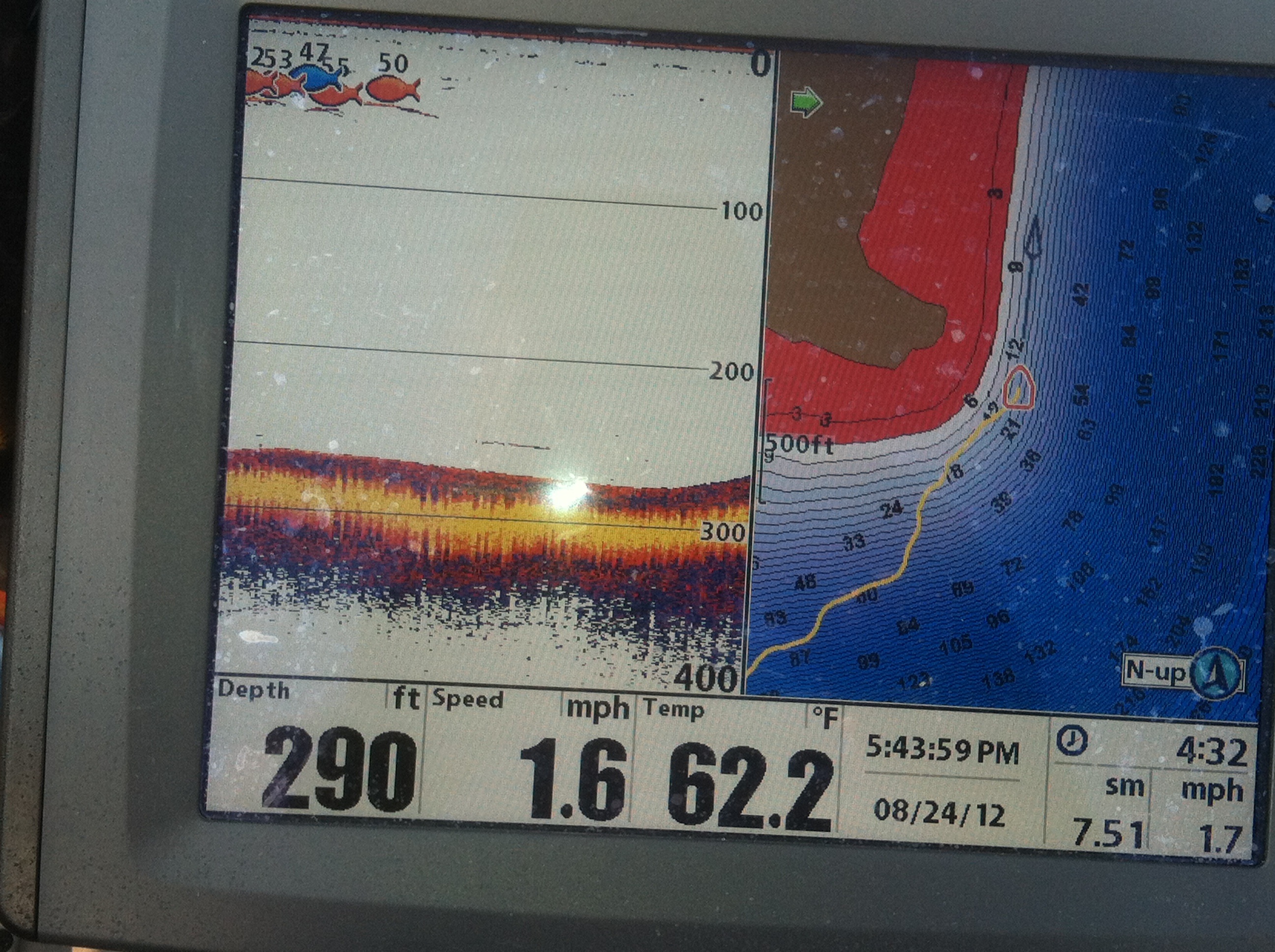
    Unfortunately, my main plotter is a Humminbird so can only directly compare my MN Lakemaster chip and my Navionics + chip for Lake Superior waters. Obviously, my opinion of the Lakemaster chip is irrelevant for your HDS, but if you go to the Navionics WebApp webpage, zoom in on Superior/Isle Royale and enable the sonar charts layer, that will be the level of detail you’ll find on the Navionics + card for all of Superior (except the card will be in feet, not meters like the WebApp defaults to).

    Actual depth accuracy does seem decrease somewhat the further from shore you get, but the general contours are accurate enough to be useful. I will say that there are a lot of small underwater humps and reefs in the areas that I fish most frequently that are not marked, so I assume this is the case all up and down the shore, but all of the major ones are outlined well enough.

    I keep telling myself that I should take a day and record a few sonar logs to upload to Navionics to see if their sonar charts feature is a feasible way to improve on detail/accuracy, but have yet to give that a shot.

    If possible, I’d try to run into a Cabelas/Gander/Marine General and see if they’ll pop in the correct Lowrance Insight chip(s) for the parts of Superior you are interested in. At least then you’d have something to compare the Navionics + with. I did that before purchasing my MN Lakemaster chip and much prefer it for western Lake Superior, except for the fact that all data ends somewhere around Silver Bay, so is completely useless to me NE of there.

    mojogunter
    Posts: 3156
    #1453562

    Lake master chip is fine for the wi side, but on the Northshore on the MN side is a complete joke. I think someone just guessed what they think the structure would look like. I don’t have the latest chip, and maybe a new chip is better. Here is my favorite screen shot to show how accurate the map is.

    Attachments:
    1. map.jpg

Viewing 12 posts - 1 through 12 (of 12 total)

You must be logged in to reply to this topic.