New Boat – Time for a change in Electronics

  • Brian Klawitter
    Keymaster
    Minnesota/Wisconsin Mississippi River
    Posts: 59944
    #1693553

    When it came time to put the in-dash sonar/gps I had a decision to make.
    Which brand. For better or worse, I chose the ‘Bird Helix 7.

    I went with ‘Bird mostly because I’ve been a loyal to a fault Lowrance guy and I wanted to see what the “other side” was like for myself. But that’s not the point of this post.

    The Favorite Wife hasn’t been past the train bridge in the Vermilion. With the high water, I thought it would be a good time to show her that the world did not end at the train bridge and there was life in the In Land Waters of Minnesota.

    I’m not going to pretend that I get back there myself much because well, I hear there are pirates lurking. But we made it past TI someplace before turning around.

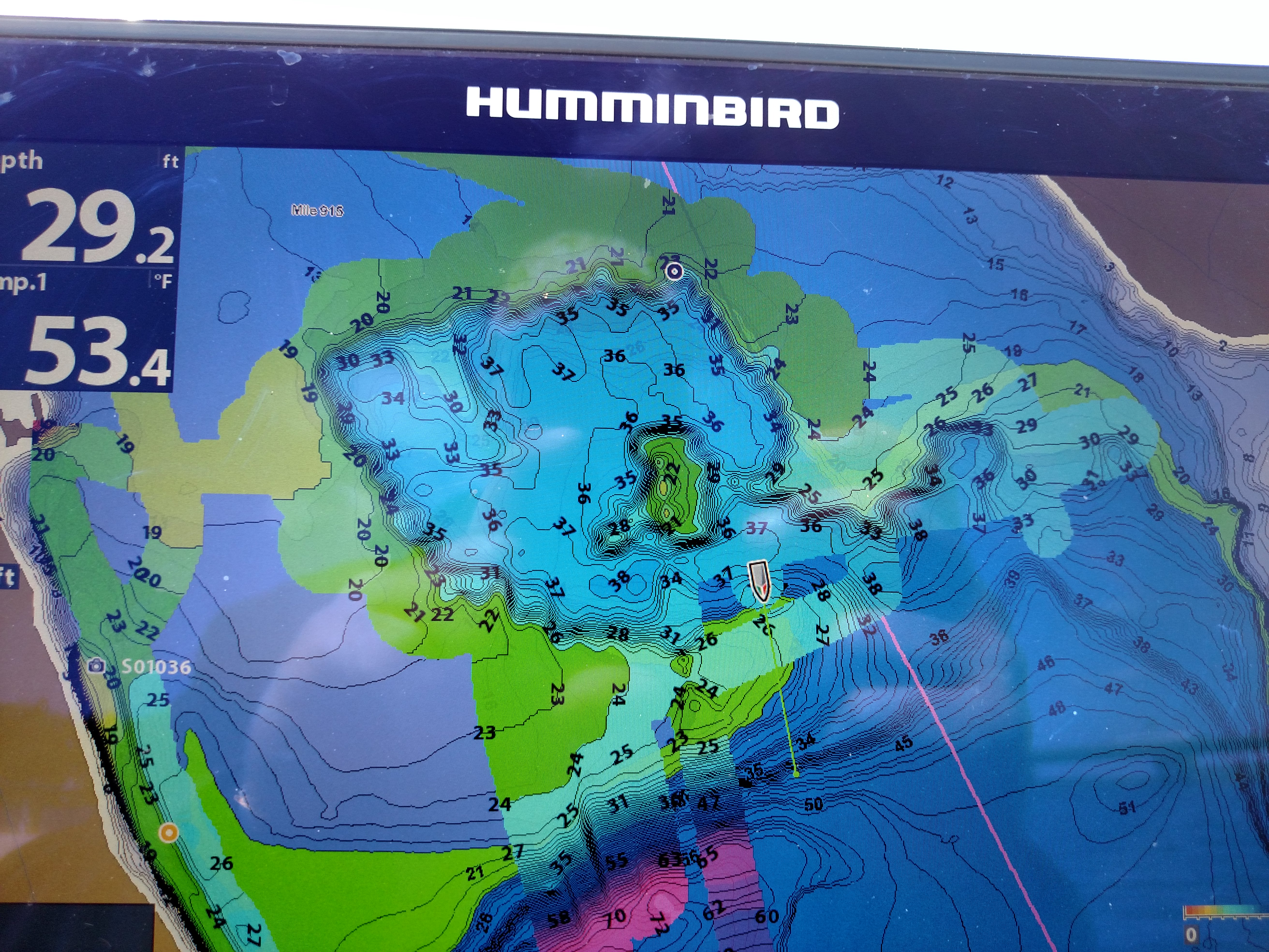
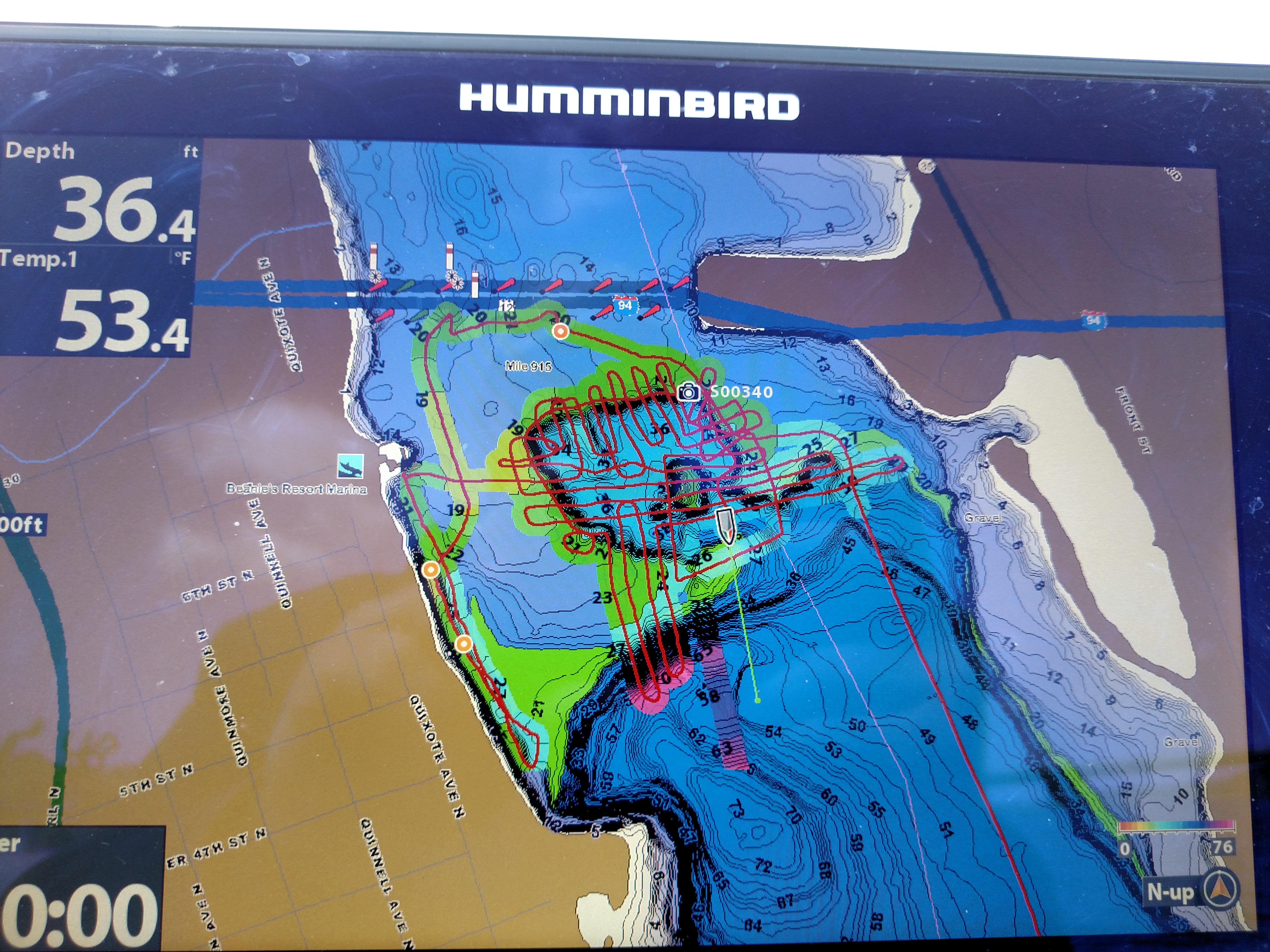
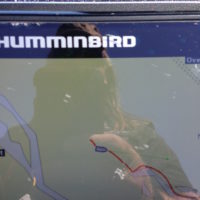
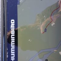
    It was during this trip that I figured out I might want to add a Navionics chip to the ‘Bird. I found that I was mostly boating on dry ground and I kinda missed the depth contours.

    I ordered the Navionics + North chip and it should arrive on Friday. I’ll post the after picture once I plug in the card.

    Here’s the screen shot of the Skeeter working it’s way across the river bottoms. )

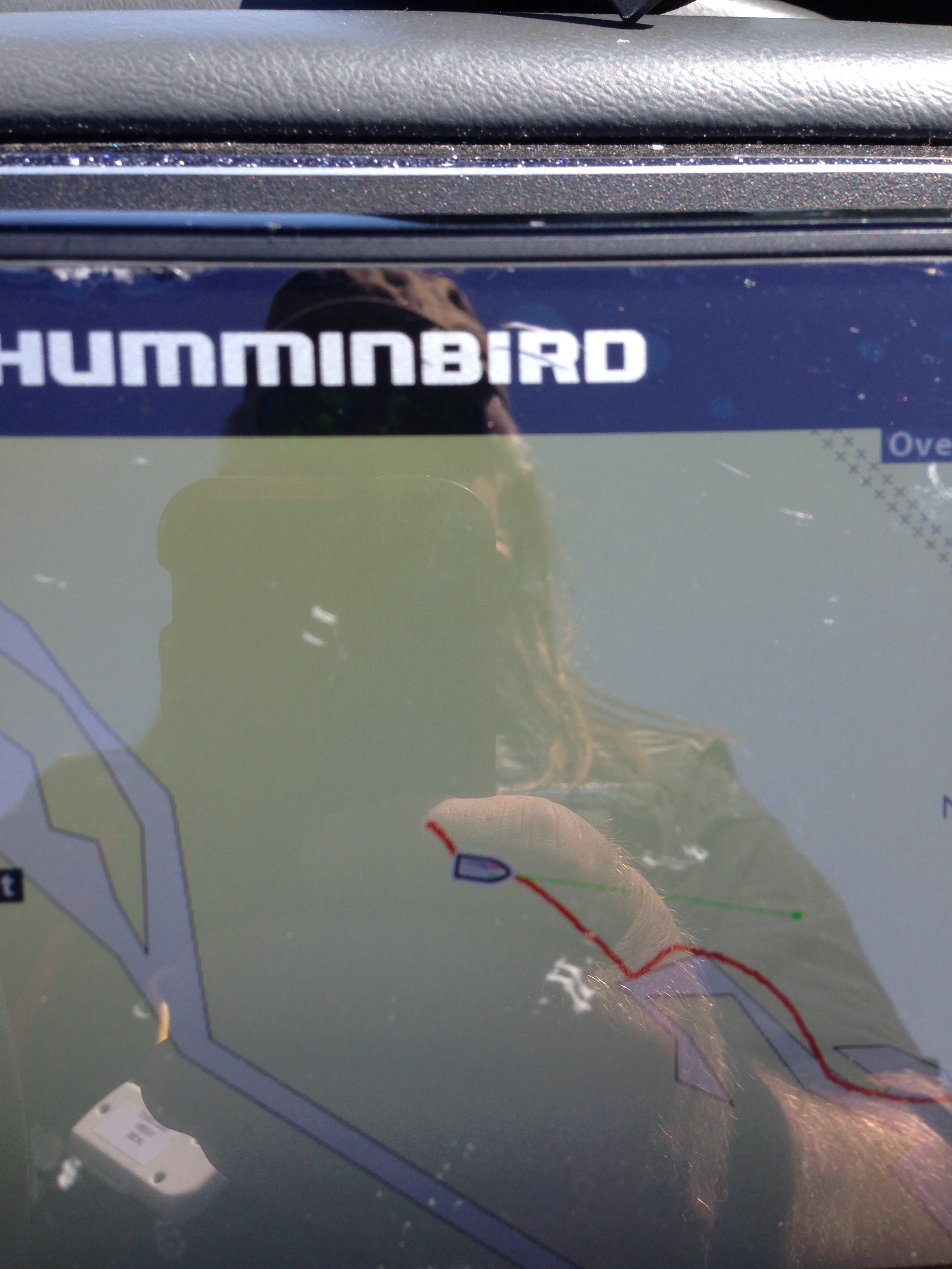
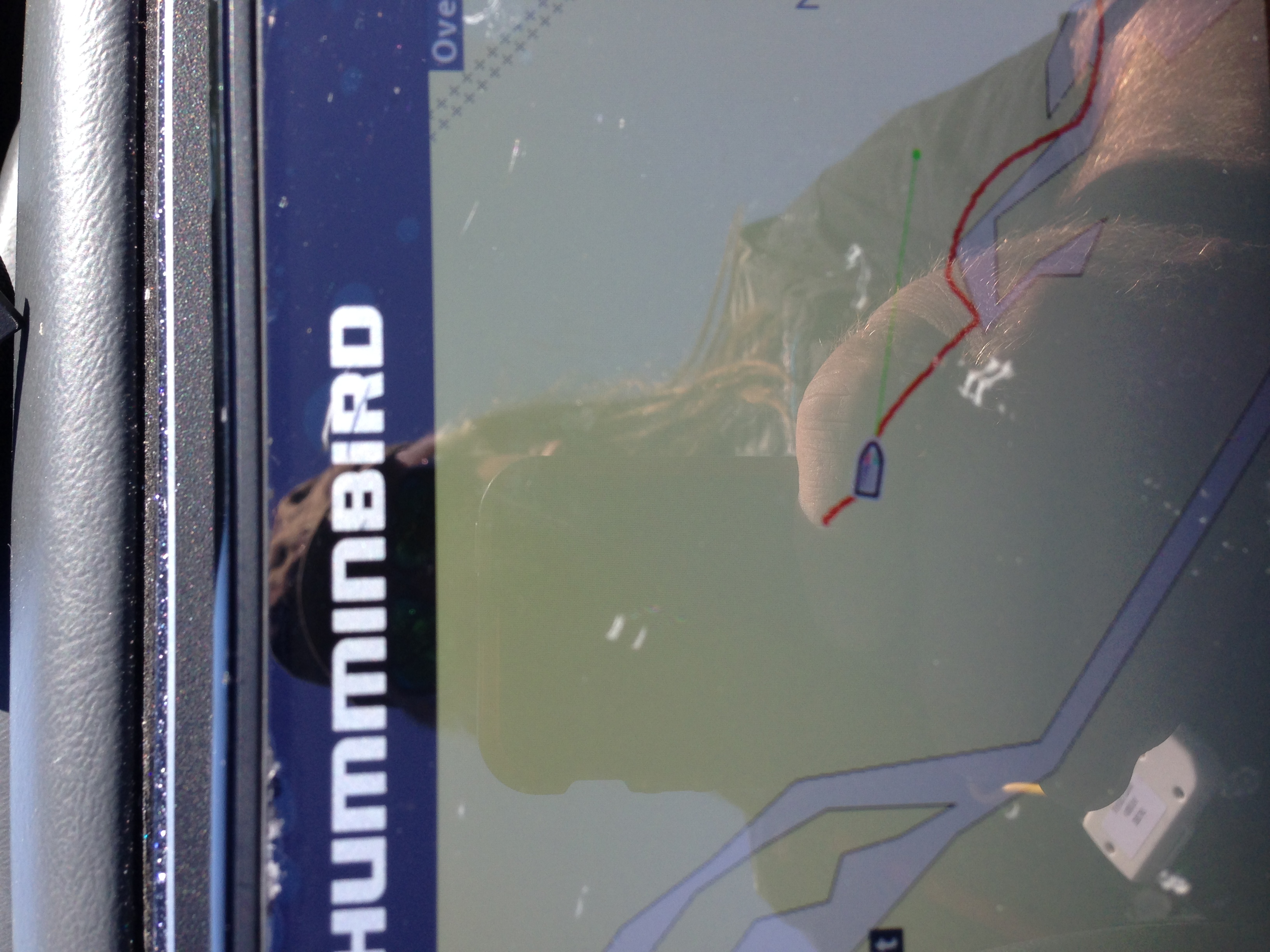
    PS don’t pay attention to my golden blonde arm or the reflection of my finger…it’s the red trail and the blue water (or lack of it) that will make the difference.

    Attachments:
    1. IMG_1509-1.jpg

    2. IMG_1509.jpg

    FishBlood&RiverMud
    Prescott
    Posts: 6689
    #1693568

    If you want accurate mapping for not well mapped areas… Gotta make a map

    Attachments:
    1. CameraZOOM-20170506120402247.jpg

    2. CameraZOOM-20170506120346367.jpg

    Brian Klawitter
    Keymaster
    Minnesota/Wisconsin Mississippi River
    Posts: 59944
    #1693577

    But if a person can’t find the water, how would he map it?

    There were so many cuts and islands back there I couldn’t find a way to continue up the Vermilion. I was up there several years ago, know it can be done but didn’t want to spend the time looking for the passage. Once I have the way, Autochart live would be the ticket or use the Navionics program and share with others.

    404 ERROR
    MN
    Posts: 3918
    #1693588

    I have boated from the bridge up almost into Hastings on the Vermillion. It doesn’t get dicey until after Duchenes if you can keep in the channel around TI. There is one spot just north of TI and clear lake that I would be nervous going past in a Skeeter, even with high water. Now, I do it in an Alumacraft 14V…so take that for what it’s worth…

    Brian Klawitter
    Keymaster
    Minnesota/Wisconsin Mississippi River
    Posts: 59944
    #1693596

    Yes, thanks Mr. M Eagle. I had the Lund up there…must of been in 2014 I’m thinking.

    404 ERROR
    MN
    Posts: 3918
    #1693613

    If I remember correctly, Lakemaster chips go a little ways up on the Vermillion. Plus someone has charted part of it around Duchenes with Sonarchart. Hopefully one of these days I’ll get Autochart Live and run the whole stretch. It has began to get frustrating with mapping software in the past few years with community edits. I do not necessarily like Navionics, but the sonarchart feature is really growing on me for times just like this…

    Brian Klawitter
    Keymaster
    Minnesota/Wisconsin Mississippi River
    Posts: 59944
    #1693620

    There are some locations that I don’t allow to be mapped from my unit… whistling

    404 ERROR
    MN
    Posts: 3918
    #1693644

    Maybe this poor Walleye guy needs to beg for an “out of retirement” guide trip. devil

Viewing 8 posts - 1 through 8 (of 8 total)

You must be logged in to reply to this topic.