Hello,
I am interested in getting a new handheld GPS to use while out ice fishing. I am open to all brands and wanted to know what the IDO community has had success with. All answers are appreciated.
Thanks
IDO » Forums » Fishing Forums » Ice Fishing Forum » Handheld GPS for ice fishing
Hello,
I am interested in getting a new handheld GPS to use while out ice fishing. I am open to all brands and wanted to know what the IDO community has had success with. All answers are appreciated.
Thanks
I find myself using the 10$ navionics app more than my gps unless I’m in a more remote area
I also am looking for one or a portable doesn’t seam to be many options, I’d like to take it in a boat , wheeler or truck
Here in Michigan, Navionics on my Note 5 and Samsung Tab works great. Occasionally I have signal issues but not very often
I’ve had my phone run out of battery to many times either from using navionics or using phone in cold weather. I bought a garmin 64s handheld for this year. It does what I was looking for, lake maps and to tell me where I’m at and I’m happy with it. And I still use navionics too
After trying a few fixes, my H2Oc unit still can’t seem to lock onto satellites anymore so I decided to go with a new hand held. After a bunch of looking around it came down to the Garmin 78s or the Garmin GPSMAP 64s. I went with the 64s. I will find out real soon if I made the right choice = lake maps. It should be here today unless the freezing rain delays delivery.
GEEMAN, have you tried out your 64s yet and if you have what are your thoughts on it.
Thanks,
IMO the handheld garmin like the 64 is the way to go because of the buttons instead of touch screen. I have the oregon with the touch screen and I hate it. I dropped my 62 down the hole and bought this because it was a good price then and regret in!
Craig, does the Navionics app work pretty accurately? I have it on a 8 inch tablet that I’d like to use.
Thanks,
Al
James, you just answered a question I had for Craig. I just bought a Samsung 8 inch Tab A and am going to try it with my Navionics app. My questions was how accurate the app is. I never used it much with my phone, as I couldn’t read the contours and depths, without bifocals.
Al
GEEMAN, have you tried out your 64s yet and if you have what are your thoughts on it.
Thanks,
I tried it once to mark a spot on a local lake I was fishing. I found the spot, marked and named it shut the unit off and went on my way. Once I got back to my truck I checked to make sure that waypoint was listed and it wasn’t. My guess is I forgot to save it. DOH LOL I’ll get the hang of it in time. I just need to put the ice rods down and make a serious effort to log some time learning this unit.
I ordered a map chip for it too but it has not shown up yet.
I use a Lowrance Endura with an old Lakemaster mini chip. I bought them both on Ebay and paid about $70 for each, maybe a bit less for the GPS and it was new. I have been satisfied with it. Have no idea what the chips and GPS are going for these days.
Well looks like I’ll have to check out the 64 s, it sounds like what I’m looking for
After messing around with the 64s a little I think it’s going to work just fine for what I want a hand held to do for me. I was never a wiz at using a GPS to begin with even on my boat but I’ve found the 64s to be relatively easy to set up and use … so far. LOL
I ordered the US LAKEVu HD chip for the 64s. It was easy to install and I was surprised at some of the smaller bodies of water that were included on that chip. The chip even included a few sections of a local river. Though not totally accurate on the river depths it’s close enough and would get someone not familiar with the river in the right neighborhood.
Yesterday was the first time I had the unit out with the map chip installed. I went to a local lake gill fishing and was curious to see how accurate the chip was depth wise. For a chip that claims to be accurate to one foot contours I was a little disappointment to find that my chip was off by about a foot and a half compared to the actual depth. That being said, it’s not a total deal breaker for me as the chip got me into the area I wanted to be.And I’m OK with popping holes to find the spot on the spot so to speak.
Is the map chip worth the investment ? I guess it depends on what your accuracy requirements are. The base map that comes preinstalled with the 64s is marginal at best. It shows main roads and what not but it leaves a LOT to be desired as far as showing true lake shorelines. In other words, even if you are familiar with any given lake the basemap will be of very little help even helping you figure out where on the lake you are. Before I installed the lake map chip I headed out about 150 yards onto the lake I was fishing but according to the track that was recorded on my GPS I was still on land the whole distance.
Keep in mind that I’m a novice at the hand held GPS stuff so maybe there are features that I am missing that a guy could tweak to get more out of the basemap ? I don’t THINK so but there are a lot smarter folks out there then me with these things so who knows.
If I had it to do over again, I would still get the map chip. I like being able to see where I am on any given body of water even if the depths are not totally accurate. The suggested retail price is $149, the big box stores seem to run $129 to 139 from what I saw. I found one on Amazon for just under a hundred bucks and a used/like new chip for $50 so it definitely pays to shop around OR see if one of the big box stores will do a price match for you.
I hope this post has helped answer a few questions for those looking for a new unit.
On a side note, a friend of mine bought a 64 the day after I bought my 64s. There didn’t seem to be a big difference between his 64 and my 64s unit save the compass on the 64s and 64st is MUCH better. The compass on the 64s and 64st was gave readings nearly as fast as a real compass while the 64 took forever to acquire an updated reading. Even slowly walking a 15-20 feet square the 64 compass would lag WAY behind the 64s and 64st compass.
My buddy ended up taking the 64 back and getting a 64st instead. I guess they were out of the 64s units ??? Dunno but from what I saw, unless you are into hiking I don’t think the 64st justifies the higher price tag if you want a unit just for fishing applications. Basically your paying extra for an upgraded base map with the 64st
I’d be another that would recommend the 64s for a handheld. Got one last year and it is very simple to use. Bought a ram mount for the 4 wheeler and it works slick. I used it on a few trips and I’d recommend. Typically I use my navionics app when looking for structure on lakes, but the GPS is perfect for marking a spot and having it trace your track to help you get off the lake. When you’re out 8-10 miles on a lake, you have to have that, especially when you have to cross heaves to know the exact spot you need to cross it at.
Thanks for the great update Geeman,ill definitely be checking out the 64s
I went to a local lake gill fishing and was curious to see how accurate the chip was depth wise. For a chip that claims to be accurate to one foot contours I was a little disappointment to find that my chip was off by about a foot and a half compared to the actual depth. That being said, it’s not a total deal breaker for me as the chip got me into the area I wanted to be.And I’m OK with popping holes to find the spot on the spot so to speak.
You’ll have to keep in mind that water levels can vary. Being 1.5 feet off on a map isn’t an issue at all. The map’s main purpose is to give you an accurate depiction of the bottom contours so you can find fish holding structure and for navigating a boat safely. If it were off 3-4 feet I’d be disappointed. More importantly, if it doesn’t accurately depict the structure, I’d probably return it or sell it because it would be useless.
My experience with lake vue has been really good. Garmin basically purchased the existing Lakemaster data that was out there for garmin prior to the Johnson outdoors purchase.
I’m seeing that Garmin doesn’t support Navionics maps in their units, is this correct?
thanks!
fishwater, I believe you are correct, but I’d just recommend getting the $5-10 app one your phone. Bigger screen and works seems easier to use any maps on a handheld GPS.
For sure big. My point was more food for thought than anything. I think some guys get sucked in by the one foot contours THINKING the depths will be exact. But as you said, due to fluctuating water levels it’s impossible to give precise numbers. That being said, I know the water level on this lake doesn’t fluctuate all that much and if anything is a little low. But that’s splitting hairs really. It’s really not a big deal to me if the depths are off by a foot or two. I only want my GPS/lake chip to mark/get me close to spots and get me on and off any given lake when the weather sets in etc. I think this set up will do that for me just fine.
Agree with the RAM GPS mount. I had one on my ATV for my last unit and ordered a new cradle that will fit the 64s. Having a GPS mounted on my ATV is a no brainer especially since I can be 3-4 or miles from the launch at times.
The other variable to point out is the depth of your transducer.
The 1′ contours really means that the lake was surveyed with an actual boat taking sonar readings. Any lake with 5′ contours are typically DNR’s maps from 50 years ago.
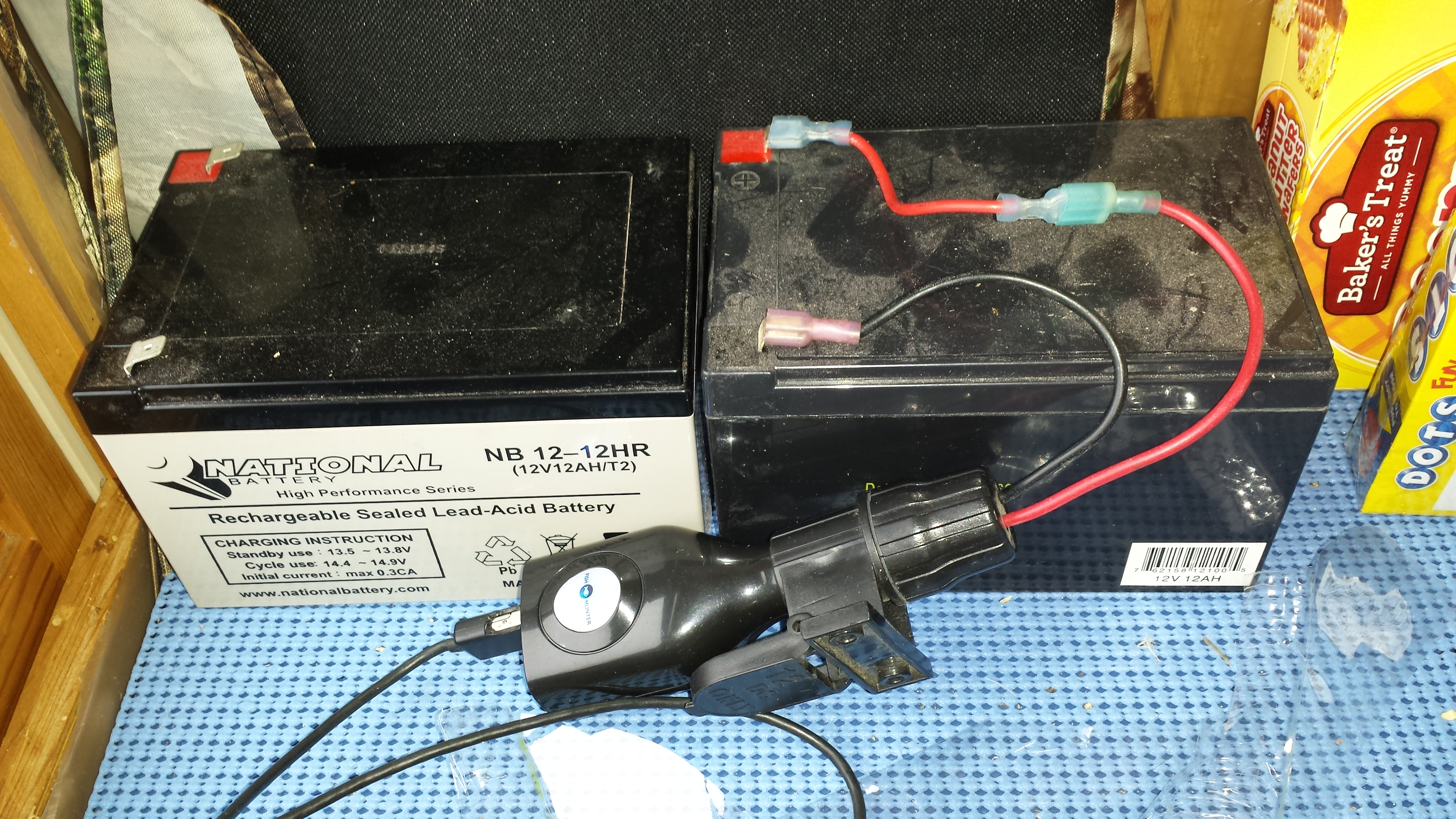
I throw a sealed battery in my flip over (and deer stand) with a lighter adapter and i have enough power for my phone for weeks
20141122_125359.jpg
Side note to the $10 Navionics map app… you can download lakes you plan on visiting (when you do have service) so later you still can use the app – even without service.
Also guilty of using my Garmin 64s. Purchased it a year or so ago now for hunting and camping but I’ve quickly learned it’s usefulness ice fishing larger lakes.
Can’t justify the money for a lake map card though. Still use Navionics for that at this time.
Anywho..I’m sure you’ll continue enjoying it.
I used to have a Garmin Dakota 20 that I loved to use out on the ice. Bought a lake master chip for it and I was set. Actually used it out on the boat as well. Sold it a couple years ago after I got a bird Setup with LM. Lookin back I wish I never sold it as it was so handy. Maybe I’ll get another one one of these days.
You must be logged in to reply to this topic.