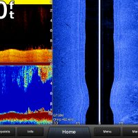
Got to get out today and play with the buttons…
This first screen shot shows the right edge weed line.. note the point out to about 15 feet then it cuts back to around 30 feet out to the right of my boat
Attachments:
18JUN16_1256_00.jpg
IDO » Forums » Fishing Forums » Toys for Big Boys » Garmin Electronics » Garmin 7610 Screen Shots
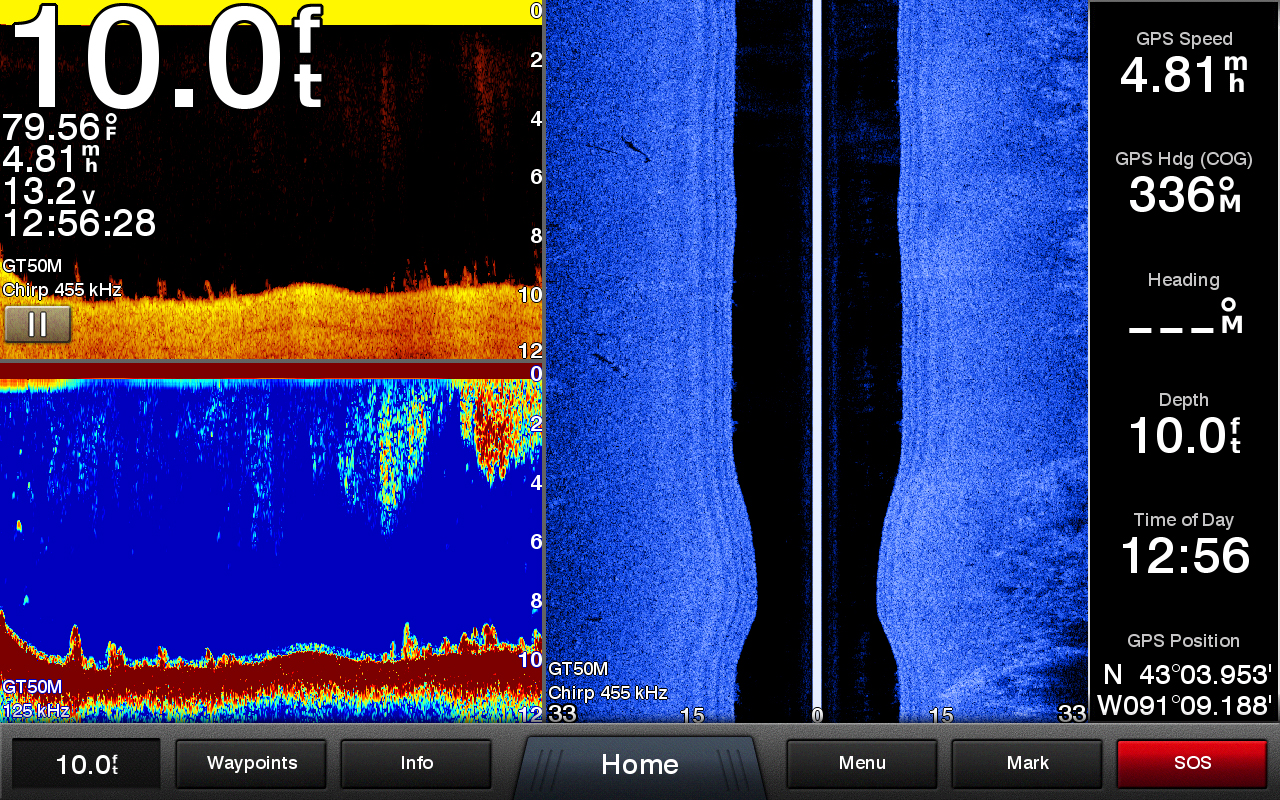
Got to get out today and play with the buttons…
This first screen shot shows the right edge weed line.. note the point out to about 15 feet then it cuts back to around 30 feet out to the right of my boat
18JUN16_1256_00.jpg
Here note the differences between the traditional sonar verses the down scan
18JUN16_1304_00.jpg
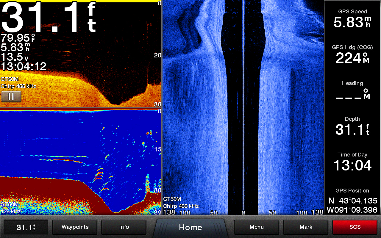
This screen shot makes me want to go back and see what exactly these fish are !!!
Love the structure scan view… sand dunes !!!
18JUN16_1304_01.jpg
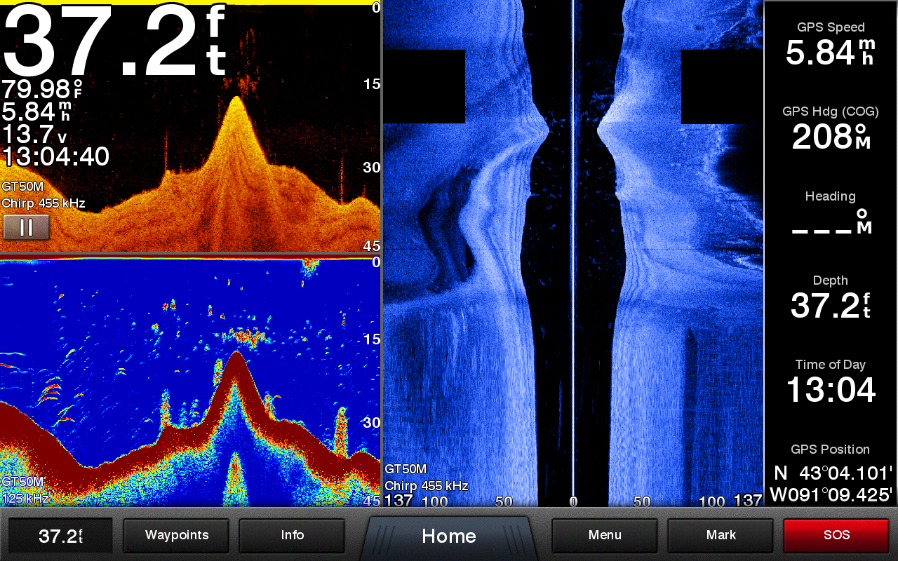
Here is a screen shot going under a small bridge.. the structure scan shows the supports holding in the sides from falling in.. it’s a very narrow pass
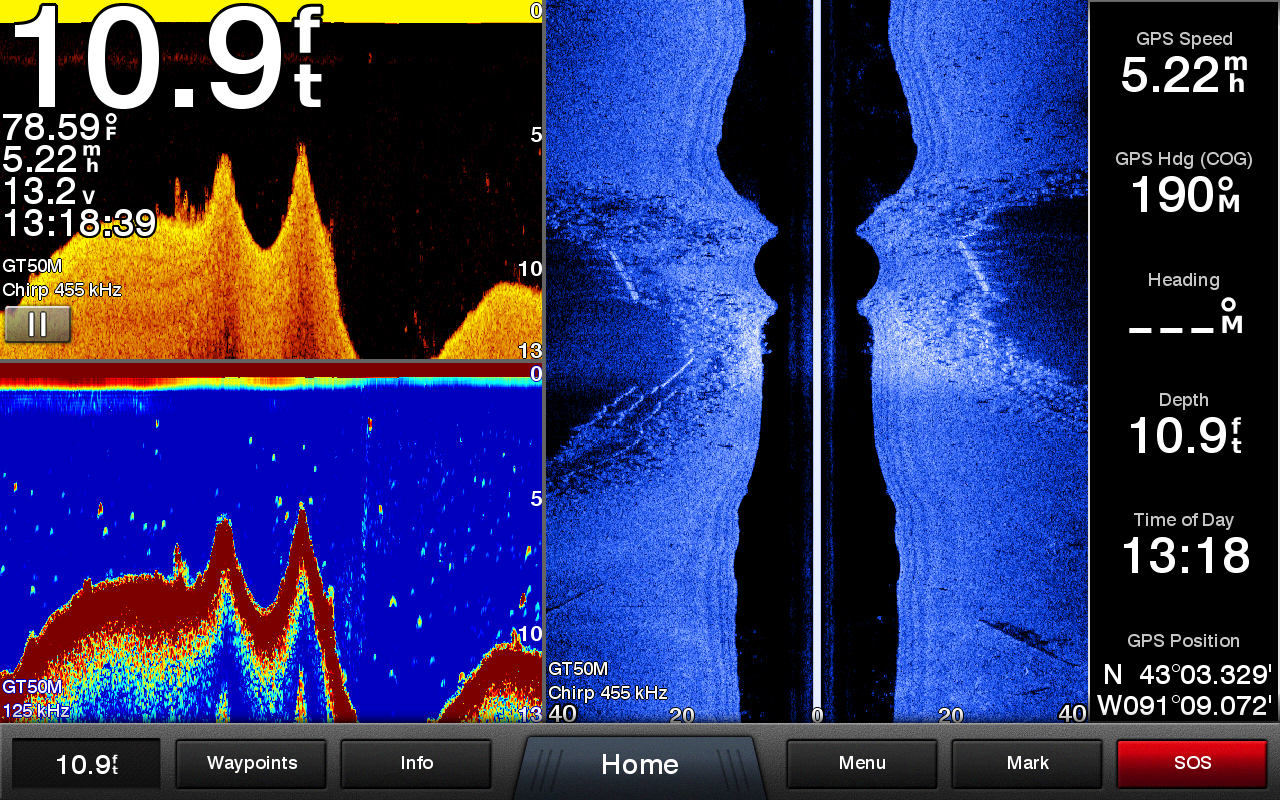
18JUN16_1318_00.jpg
And this last shot is going under another small bridge…
The full 3 screen shot speaks for itself i think !!!

18JUN16_1322_00.jpg
You must be logged in to reply to this topic.