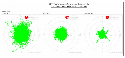
I was in Wyoming and South Dakota last week for work and spent some time in the bentonite mines. Part of the tour we were shown how they survey the mine sites using their GPS. The GPS that they use is accurate enough that it also gives them height which they use to tell how much material has been taken off the site. To demonstrate the system he put a quarter under a stone in a gravel parking lot and i was the one that got to find it using the GPS (the unit attaches to a metal rod with a point on the end). I followed it until it said I was on the mark (it shows a bullseye) but I was off by a little bit. The read out on the screen said I was close but not quite there, I was off by .5″. That thing was nuts, accuracy within .5″, it also cost 50K.
All that had me wondering how accurate my GPS was and I have no idea. Anyone know how accurate their GPS is?


