Water levels and the bite on the Cedar River

  • mossydan
    Cedar Rapids, Iowa
    Posts: 7727
    #1323022

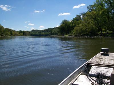
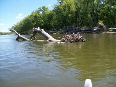
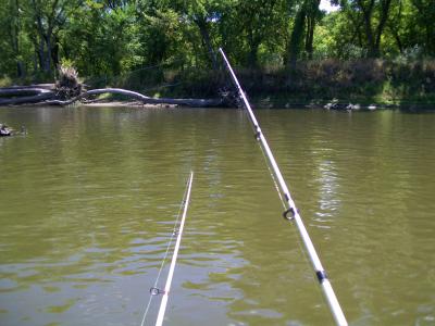
    Its so low I barely got my boat off the trailer and after I did I had to put an old net handle under the motor to keep the prop from hitting the bottom, atleast some. The water was up around 6″ just yesterday and its back down again now. I took some pictures and set a trotline and pole fished for a few hours.

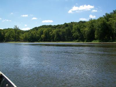
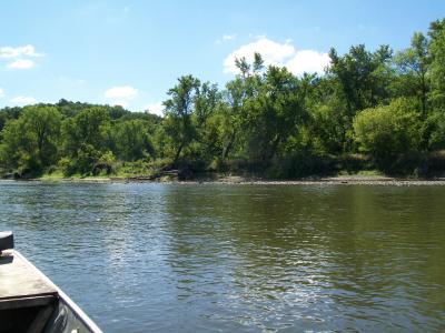
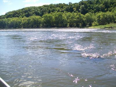
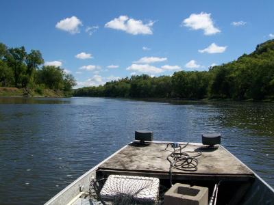
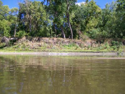
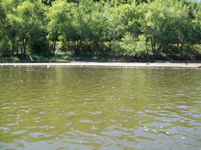
    This first one is of where the water is usually 2′ deeper and you can’t see any of these rocks. The rest are pictures of where I had to go down river through to get to my spot. A few river pictures of what the rivers like here and a few of the trotline I set. I did manage to get a few eater channels on the trotline and one on my fishing pole. The waters so low the one picture is of a deposit of clamshells from the river washing them down and dropping them in that spot, must have been 500 lbs. of them.

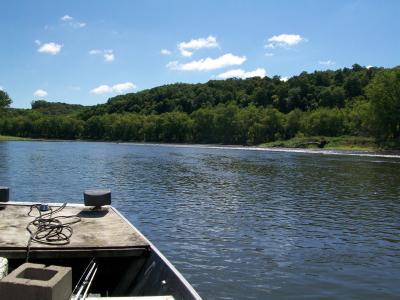
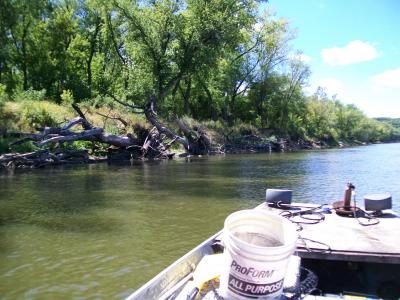
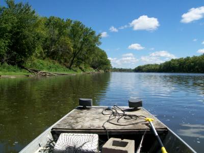
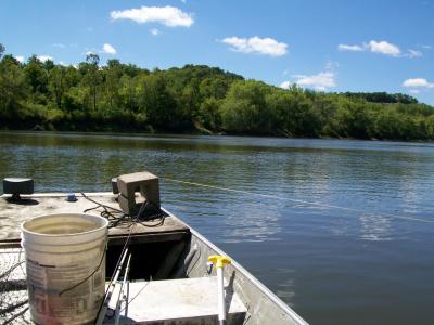
    Coming back up river I got hung up on a rock and had to shut the motor off and had to get out of the boat to let it drift down a little. I made it up trying another spot 30′ to the right. The prop hit for about 20 yrds, I thought I might shear the pin all the way through there. The last picture is of the baitwell pump, it works good useing river water. The one with the concrete block on the deck is where I had set my trotline and was pulling it tight, letting it slide off the deck into the water, just guide the boat to the angle you want your line set at and let it slip into the water by itself, works good.


    BBKK
    IA
    Posts: 4033
    #1089867

    The Cedar is 75 times bigger up there than it is down here. Down here it is about 20 feet wide and 2″ deep.

    Bob Spitz
    Osage Iowa
    Posts: 75
    #1089877

    Water levels here in mitchell co. are as low as I have ever seen them. Fished from 6am to 2pm and caught 3 eyes around 14″ and approx. 40 to 50 small smallmouths today. With it as low as it is floating the jon boat was hard for the 2 of us, alot of draging it through the shallow areas. Only caught fish in or very close to current.

    mossydan
    Cedar Rapids, Iowa
    Posts: 7727
    #1089888

    Wheres that B BK, you must live up north twards the Minnesota border,,,right? I had to listen to my prop all day in most areas because the waters that low. I hit bottom today in areas that I had a few feet under me a month and a half ago. The deepest water I found was 9′ in the middle of the channel and I’ve seen that spot at 14′ before. The only place I didn’t have to think about hitting bottom too much was in deeper water that I knew was going to still be deep. You had to completely stay away from any ripples because it was more then likely a sand or gravel bar with the lighter wind rippeling the tops of them. I wanted to get a closer picture of the shoreline where all those clams were at and it was too late then, I was ontop of a sand bar and had to get out and walk the jonboat in too 12″ of water to get down river.

    mossydan
    Cedar Rapids, Iowa
    Posts: 7727
    #1089890

    Wheres Osage at Bob, I’ve heard of it several times I just don’t know where its at. How wide is the river there and whats a deep spot?

    mossydan
    Cedar Rapids, Iowa
    Posts: 7727
    #1089892

    Heres a couple more pics I couldn’t load the first post with, I may have duplicated a couple from the previous pictures.

    The one with the tree and its roots sticking out of the water, theres usually atleast 2′ more feet of water. The one of my poles, I’m anchored just up from the roots of that tree, you can see them in the left corner a little. I left there because the wind was blowing my boat around and I was dragging sinkers. They were biting there but I just didn’t want to put up with the wind moving my boat. All the trees you see with brown or colored leaves are from heat stress. Thier roots are down in the immediate water table and still can’t pull up water fast enough, so this is what severe heat and hot winds do.

    Usually all the trees have alot more leaves on them too, many more, they drop them because the roots can’t supply enough water. 70% of the trees you see are Soft Maples, thousands of them here on the river and creek banks. 10% Cottonwoods and the rest Ash and others like Walnut and Box Alder. All the brown grass and weeds on the first set of pictures is usually a lush green, its almost all brown now. You can also see where normal water levels are at by looking at the bank and seeing the angle change, thats where the water is usually at or a hair below it. The trotline pictures in the first set show that the best and that angle holds like that the whole length of the river in that area, I’m sure the whole river looks like that.


    BBKK
    IA
    Posts: 4033
    #1089898

    I was talking down where I duck hunt. Private property along the cedar just west of Muscatine. Nothing but a trickle of water. My blind is about 400 yards from the water now.

    Bob Spitz
    Osage Iowa
    Posts: 75
    #1089921

    Dan, Osage is between Charles City and the min. border.

    jwcarlson
    Posts: 74
    #1090305

    I’ve written the Cedar off for the moment. Water is so low it’s hard to look at it. P
    I’m leaving for a fly-in trip to Canada this weekend so I may not fish again after that… because everything else is so awful in comparison.

    mossydan
    Cedar Rapids, Iowa
    Posts: 7727
    #1090480

    I know what your saying JW, this year I’ve thought about smaller rivers and the trout streams in N.E. Iowa more then fishing the Cedar. It is an alternative.

    jwcarlson
    Posts: 74
    #1093803

    Just got back from our Canada trip Sunday. Did I miss any hot fishing on the Cedar while I was gone?

    I see the river went down some more.

    mossydan
    Cedar Rapids, Iowa
    Posts: 7727
    #1093957

    It became The Cedar Creek.

    riverfisher
    Cedar Falls, IA
    Posts: 122
    #1094676

    Starting to call it Cedar Lake since you have to use a trolling motor to move “downstream”

    mossydan
    Cedar Rapids, Iowa
    Posts: 7727
    #1094742

    I went up river this morning and seen a friend and his boats 30′ from the river. You can see sand bars sticking out of the river mid channel with only a few feet of water running beside them. It looks like you can wade anywhere and not go any deeper then your waist. If anyone wants to see what the very bottom of the river looks like, nows the time. Its hard to believe what I’m seeing with all the past years of regular flows, its shallow everywhere you look, except in the very deepest holes and theres not many of those right now. The waters down atleast 5′ too 6′ and thats alot for the Cedar.

    eye-full
    Waterloo,Ia,USA
    Posts: 660
    #1094797

    It’s scary Dan. I would look for good flow areas with a little bit of depth and rocks, might find something.

    Jw how did things go up there?

    Riverfisher stopped by Wyth last night at the boat ramp and swore the water was flowing upstream, crazy.

    mossydan
    Cedar Rapids, Iowa
    Posts: 7727
    #1094835

    Ya Eye, Now I know what B BK is talking about. We made a trip to the Quad cities area this morning and crossed the Cedar on Interstate 80 East, its very low there too. I thought maybe some creeks etc. would have brought the level up some but not to be seen, its as shallow or shallower there then it is here. This the first time it seems that the Cedars just soaking into the sand befor it reaches the Iowa River, It really does look like that.

    jwcarlson
    Posts: 74
    #1096504

    Quote:


    It’s scary Dan. I would look for good flow areas with a little bit of depth and rocks, might find something.

    Jw how did things go up there?

    Riverfisher stopped by Wyth last night at the boat ramp and swore the water was flowing upstream, crazy.


    Went great up in Canada as usual! Always a great trip, caught plenty of fish. The walleye were great but the pike fishing was terrible because of the river/lake conditions.

Viewing 17 posts - 1 through 17 (of 17 total)

You must be logged in to reply to this topic.