Im back with another new product from LEGEND Cartography. Mississippi River P1-9, SAF and the St.Croix.
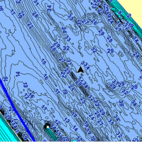
This chip contains 1ft Contours for Pools 1-9 on the Mississippi River, SAF and the St.Croix River, wing dams, navigation aids, boat accesses and the standard other package of goodies.
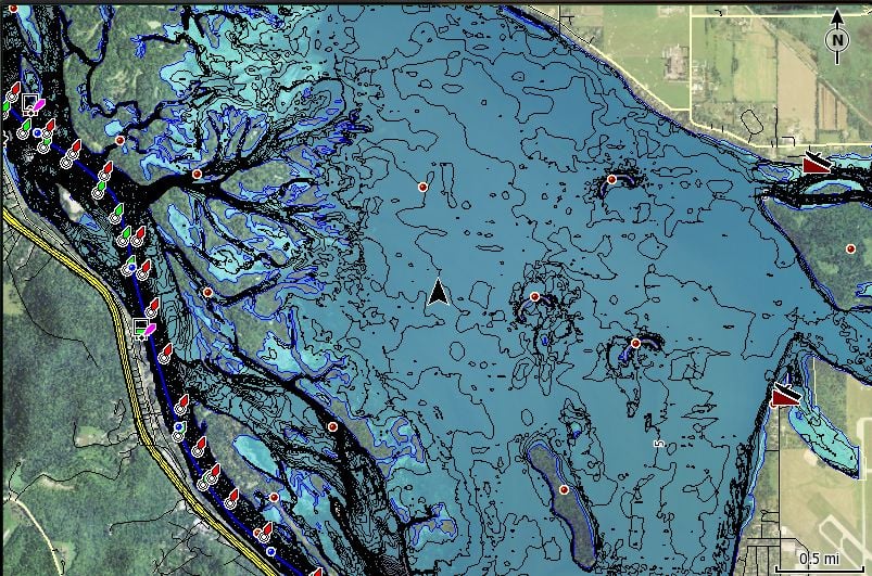
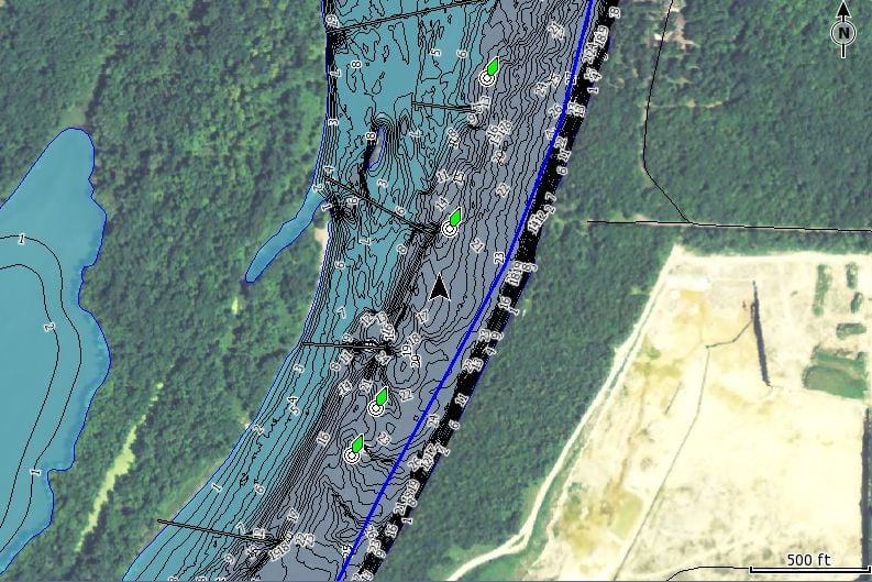
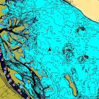
The Unleashed version (for HDS and Elite HDI or Chirp guys) also contains High Resolution Aerial Imagery that extends 2 miles beyond the shorelines. The imagery is of a high enough quality to pick out vegetation, peoples docks, and in some cases you can even see the larger buoys. See link for more screen shots- http://www.legendcartography.com/mississippi-river1.html
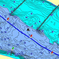
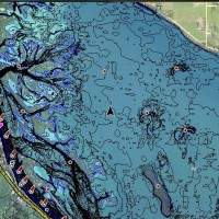
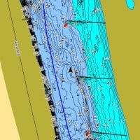
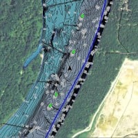
The Legacy version (for Legacy Lowrance LCX and LMS units, H20c) will display everything but the aerial imagery. The data is the exact same as the Unleashed series, just minus the Aerial Photos. See link for more screenshots- http://www.legendcartography.com/mississippi-river2.html
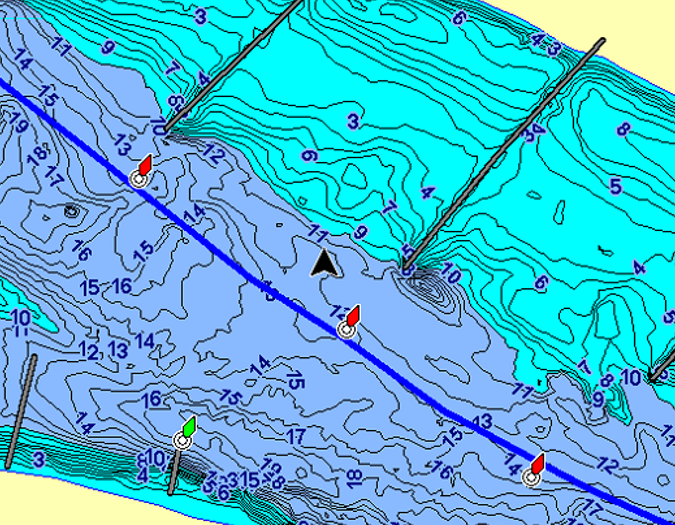
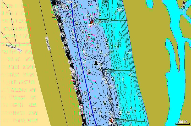
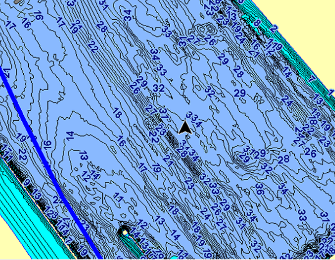
I’ve attached a couple of screen shots directly from the products. The first two are of Pool 2, and of Pool 7 on the Unleashed Product. The second 2 are from the same areas, but on the standard 2d product, and the last 2 are of the Legacy version of the product.
If you would like to see other areas let me know and I’d be glad to help out.
MT
Attachments:
wingdams.png
P7.jpg
P21.jpg
P71.jpg
HDCont.png
P2.jpg