lake view ultra

  • 1hl&sinker
    On the St.Croix
    Posts: 2501
    #1675623

    Those that use the ultra how do you like it? I see the St.croix is in max def which is my main water I use. Also, I see cut foot and winnibigosh near the family cabin.

    Have you used the mariner eye and the fish eye view. My old 530 has this but I was never on water that I could use it. My 2010 lakemaster chip did not include the st.croix. Apparently Garmin was on the St.Croix last year and the maxdef simble was on the croix in garm7n maps

    The extra features look like a worthy purchase. I wonder about upgrades for the future. I know I read something about upgrades in another thread I’m hoping someone can refresh my memory and add any new info.

    ______________
    Inactive
    MN - 55082
    Posts: 1644
    #1675641

    I don’t see a lot of use of the ultra features. I can get satellite images on any device. The depth offset and relief shading could be nice.

    Attachments:
    1. Screenshot_2017-02-21-05-23-20.png

    1hl&sinker
    On the St.Croix
    Posts: 2501
    #1677898

    I’m thinking dynamic lake level be interesting especialy with how the st.croix has been fluctuating through the summer months. I’m sure its just a matter of the unit adjusting numbers up or down just like my brain could do. Though it would be nice to see real time on the chart.

    The auto guidance be nice late at night when on Winni. We launch out of cut foot, for me it gets a bit nerving coming in of the big lake into cut foot. Be great on minnitonka I would think.

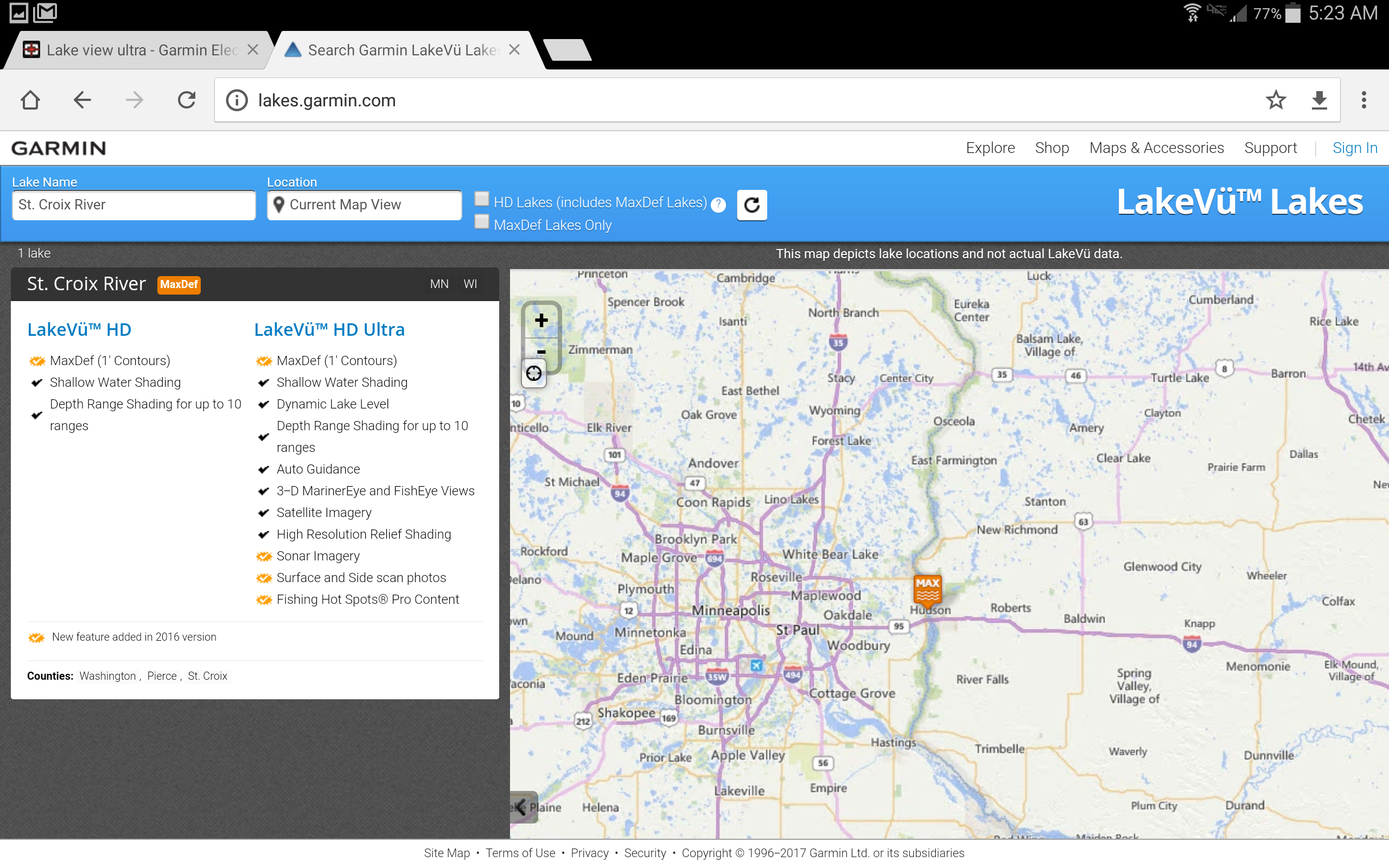
    Hot spots maybe helpful especially on those two lakes I’m not familiar with.

    These are probably just enhacements or just a gimic I could do without and for $199 its atoss up.

    I’m going to waite till they release this years map update this spring (30 to 60 days) to decide. Hopefully I’ll have some open water time see how well the garmin mapping is for the croix.

    After comparing my handheld 2010 lakemaster chip side by side to the new Garmin map at home their prety close to each other with a few interesting views. Especially the boy scout flats.
    This winter I was out their drilling holes all over the north and northwest side and the south and south west and marking way points. The view of the Garmin looks a lot closer to matching my way points.
    The Quickdraw is going to be awesome out there on those flats and those other ones out there!
    Oh! We did prety darn good on the walleyes and the channels before the ice pooped out on us befor that Afton was better.

    carver
    West Metro
    Posts: 593
    #1682776

    Do you know if they updated the maps yet for this year?

    I guess I don’t know their map card product line too much. Are they like Lakemaster and Navonics where they come out with a new card each year? or do you just download it and get free updates throughout the year so it doesn’t matter if you purchase now or later.

    Also can I get it from an online place (authorized re-seller) I have a discount code that I would like to use.

    1hl&sinker
    On the St.Croix
    Posts: 2501
    #1682965

    Garmin tells me they update the maps in the spring and fall. If garmin is at the sportshow this weak I’ll ask if the updates have come out yet.
    I’m sure its a download thing where you can purchase at anytime. If you have a code for a garmin product you should be able to use that through the update map section on the Garmin website.
    If the discount code is for a reseller I would imagine they would either have a update chip they would send you or route you online via by link to download after redeeming discount code.

    Danny Thompson
    Minnesota
    Posts: 45
    #1685218

    Map updates come spring and fall I believe and what I would encourage everyone to do is register your product with Garmin Express. That is how the map updates will work. I cannot wait for the new updates I bet there is some great stuff coming from Garmin on this!!

    Danny Thompson
    Minnesota
    Posts: 45
    #1685219

    Also there Ultra card is great for the Max Def Lakes in MN and WI.
    Winnie, Cass, Bemidji, Vermilion, White Bear, St Croix River, Winnebago.

    Those lakes Garmin mapped with their own boats with Panoptix so the mapping is most accurate ever made on those lakes.

Viewing 9 posts - 1 through 9 (of 9 total)

You must be logged in to reply to this topic.