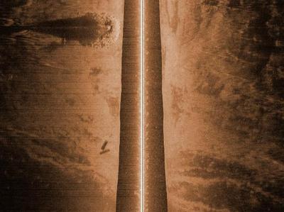
Things are starting to get going and it feels good to be back on the water Red. The university says finishing the degree is doable.
One of the guys and I went out in his boat with my computer so I could show him some of the high points on the map. The lake came up three feet this spring and sure changed things even more than they were, the fish are patterning different. The lake is still pretty clear and not all that warm. One protected area was 70° while around the corner out in the wind the lake was 66°.
There was one catch, the first time I went under the 19 bridge up into Pelican the cabin on the boat barely cleared the bridge and then a week later we got over 3″ of rain and the lake came up at least that. I haven’t even been back to check it was so close the first time.
WarrenMN
